Outdoors
Clay Trails Network
A glimpse into the China Clay industry of St Austell
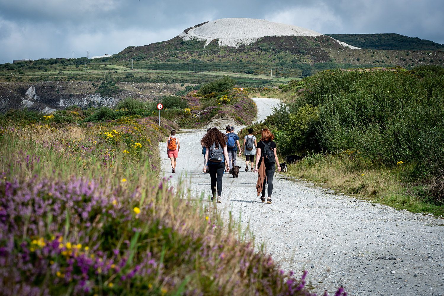
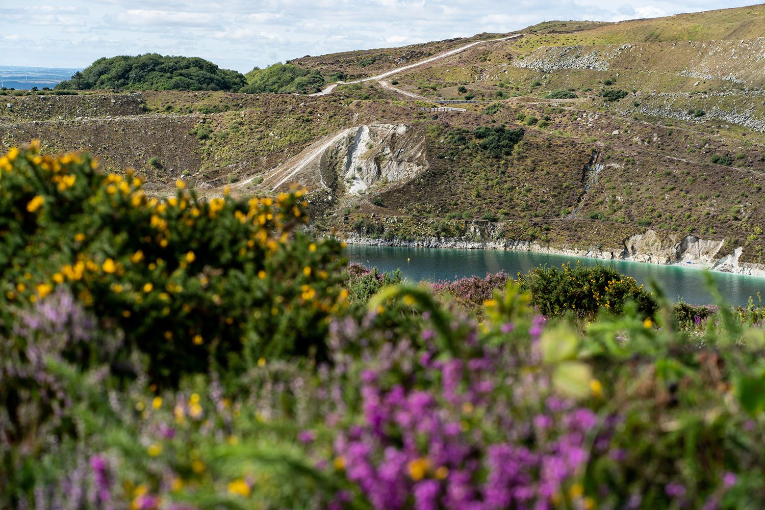
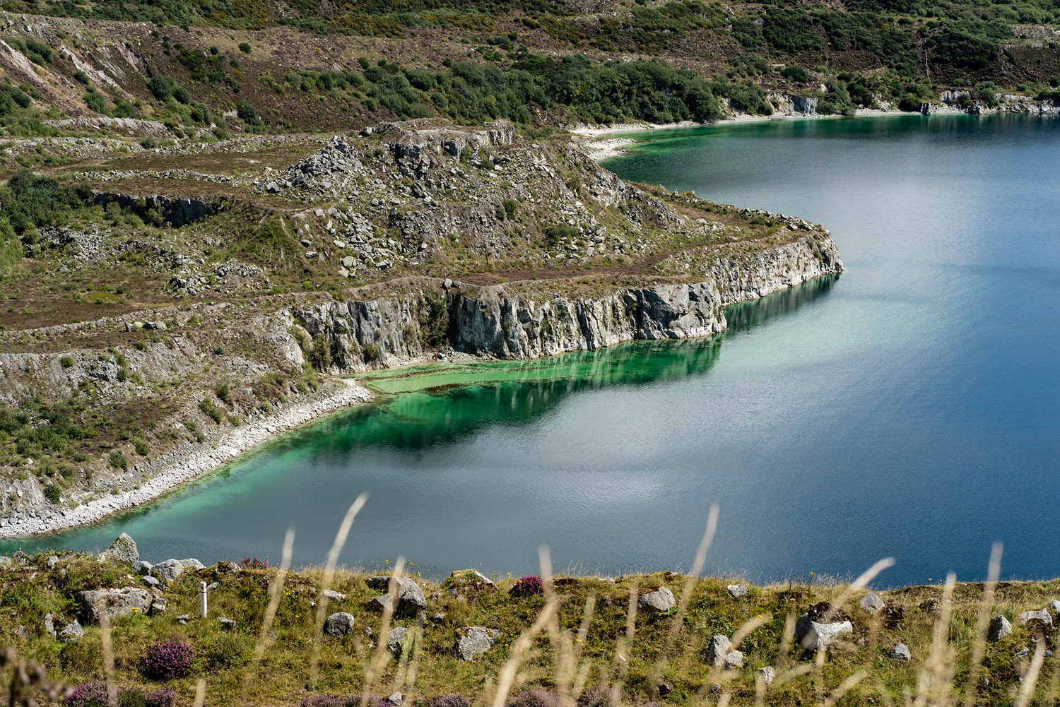
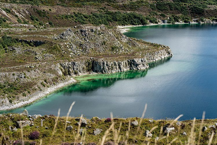
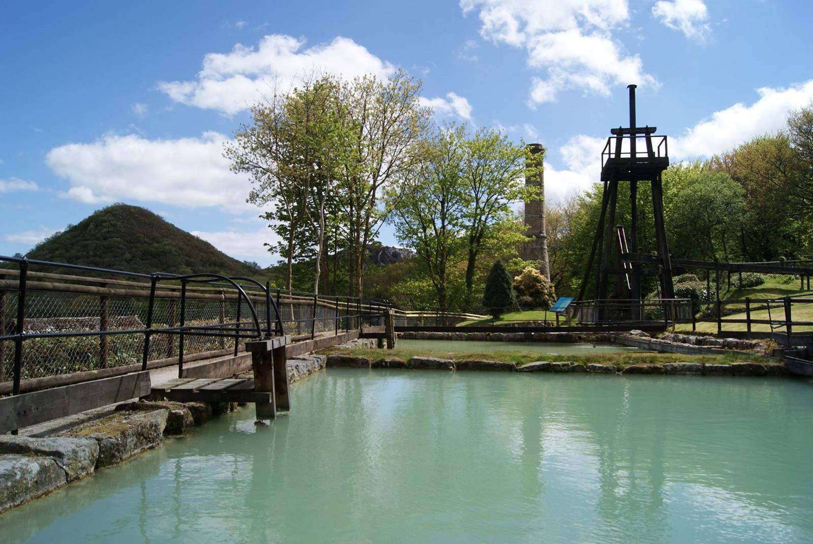
The clay trails are a network of short walking, cycling and horse riding trails through mid-Cornwall’s China Clay Country. Winding their way through the unique landscape of the china clay mining area, offering an insight into both the past and present of an industry which has shaped St Austell and surrounding areas.
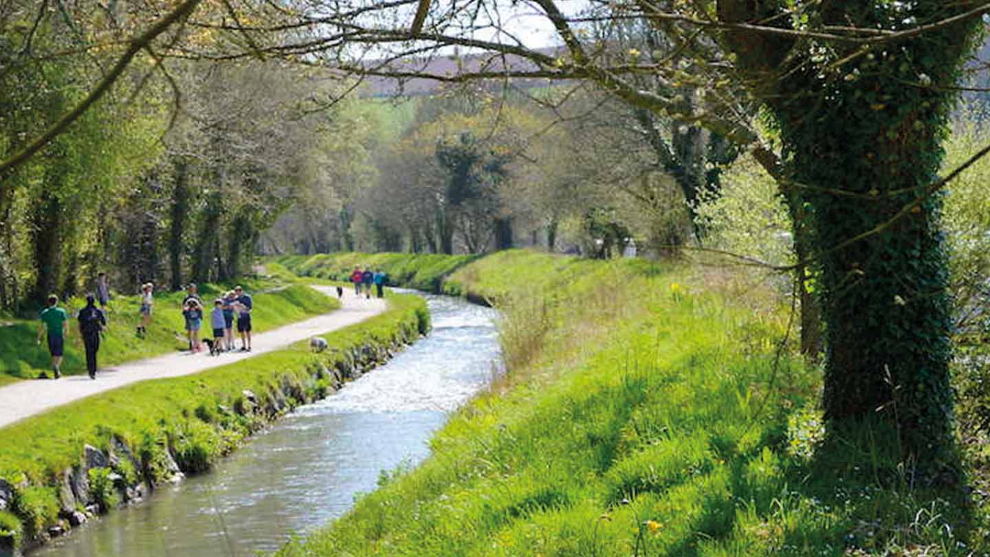
9 trails offer a glimpse into the China Clay industry of St Austell and indeed Cornwall and provide a mostly traffic free route through: farmland; wooded valleys, fishing villages and mining villages
- Bodelva View circular route
- Carclaze loop
- Pentewan Valley trail
- St Austell circular
- Eden Project to Wheal Martyn
- Wheal Martyn to St Austell
- Wheal Martyn to Sky Spur
- Eden Project to Bugle
- Par Beach to Eden Project
The trails are set on a variety of flat and smooth surfaces, to steeper, uneven terrain and are suitable for walkers, cyclists, horse riders, mobility scooters, wheelchair users and buggies.
How to get there
There are a many ways to get you to the coast and clay trails:
By rail – catch the train to Par Station or St Austell train station which are on the main line. From Par station you can then catch the train to Bugle station or Luxulyan train station.
By car – view the maps section of the Clay Trails website to find out how to get there by car. There are a number of council car parks located along the trails, view the map below to find out where these are located.
By bus – buses run to many of the nearby towns and villages. You can find information about timetables and tickets on the Traveline South West website.
Facilities and parking
You can find full details about the nearby facilities, attractions and parking along each of the trails on the clay trails website.


Share on social
---