Outdoors
Eden Project To Wheal Martyn
This five-mile trail crosses woodland, heathland and passes by working mines and clay pits. Car parking is available at the Eden Project and Wheal Martyn, where visitors are invited to make a small donation towards the museum’s charitable work. There is also an informal car park to the side of the A391 at Scredda.
Access to this trail starts from behind the Plum Car Park at the Eden Project; look out for the blue Clay Trail signs or granite way markers with black arrows.
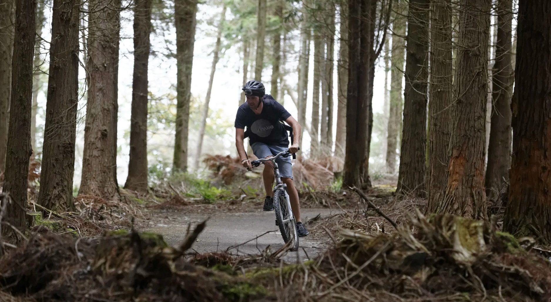
Once on the trail, follow the path through a small field. At the T-junction a granite way marker points the direction to the left. After a short distance you’ll come to a small cross roads you need cross the road and the trail continues straight ahead through the wooden posts. Follow the path as it gently winds downhill. Listen and look for a stream that flows past on your left.
After three quarters of a mile you’ll pass through a gate and reach the village of Trethurgy. Turn right onto the road and walk uphill for 20 feet. At the top of the road take a left and then first right following the blue Clay Trail signs. Exit this road and re-join the trail on the left (signposted on the right).
Follow the trail for three miles, then go through a metal gate shortly followed by a wooden gate, which brings you out onto an open, wide-sloped section. At the top of the slope you’ll come to a T junction, where you should turn left.
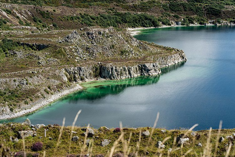
Look ahead and to the left and you will see the granite tors of Carn Grey rocks and, beyond this, St Austell Bay. As you round the corner of the path you’ll be able to see into Baal Pit, a disused china clay pit, whose surreal landscape has featured in Dr Who.
Follow the trail around the perimeter of the pit, passing a shelter on your left. Carry on past the shelter and head towards the buildings ahead, keeping them on your left side.
At the end of the path take a left, following the blue sign, which will bring you out onto the A391. Cross the busy road with care – or preferably walk to the bridge and cross safely there.
Once across the road, turn right up a small hill keep the A391 on your right whilst you cross the small informal car-park. The trail continues to your left (look out for the dog bins). Continue for a quarter of a mile, then take a left fork on the path (the trail ahead takes you onto Sky Spur.
Follow the path as it gently winds and bends downhill for half a mile. Once you pass a metal gate and set of granite boulders, veer left and cross the road following the path, and look out for blue signs to Wheal Martyn.
Continue along the path, crossing the William Cookworthy bridge – named after the man who ‘discovered’ china clay in the 18th century. Then follow the trail as it runs parallel to the river and then through Ruddlemoor village green.
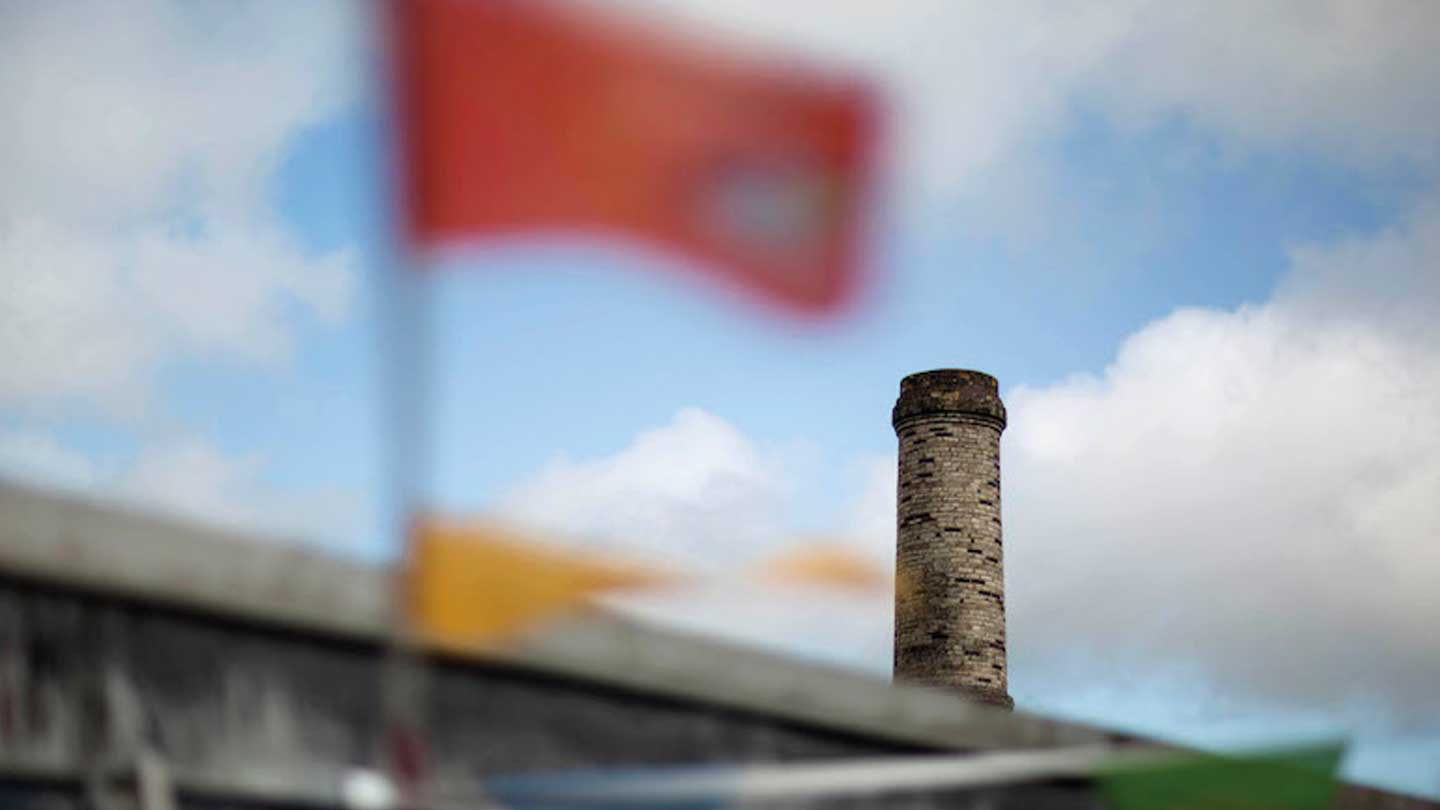
The final part of the trail is a slight incline up to Wheal Martyn. As you head towards Wheal Martyn you may notice ancient chimneys partially hidden by the undergrowth, reminders of the clay driers of the 19th century. Further on in the distance you can see today’s working mines where powerful hoses are used to wash out the clay from the pit.

Share on social
---